The primary trails of the Cinque Terre—those tracing the edge of the Tyrrhenian Sea between pastel ports—are overtrekked. The crush of daytime foot traffic turns centuries-old paths into congested thoroughfares. But 300 meters up into the terraced hillsides above each of the five towns, you’ll find blissfully empty paths that tell a different story of the region.
“These were never hiking trails. The paths were survival routes,” explains Angela Fenwick, owner of La Sosta di Ottone III, a 16th-century stone house turned boutique hotel above Levanto in the hamlet of Chiesanuova; Otto III, Emperor of the Holy Roman Empire, famously spent the night here some millennia ago on his way to being crowned in Rome. “They connected the isolated agricultural hamlets to their fields, their sanctuaries, and the ridge lines, long before the railway, and then roads, cut through the rock.”
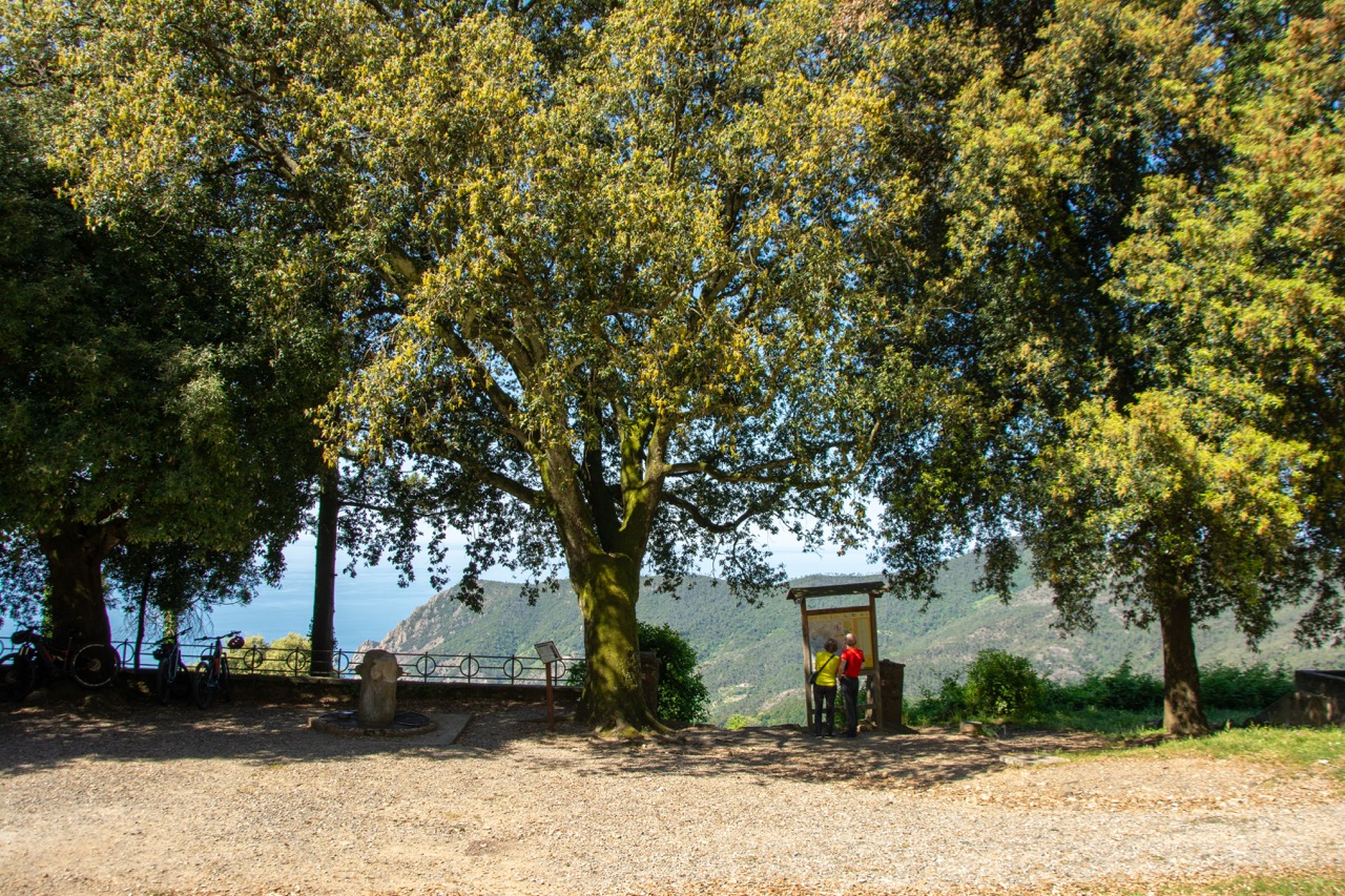
Instead of the Mediterranean scrub of the lower routes, these pathways are surrounded by maritime pines, chestnut groves, and dry-stone walls built block by block over a thousand years. Below, the sea spreads out in a flat blue sheet; above, expert-level ridge trails run uninterrupted toward Portovenere. “You can be hiking in these deep little canali and completely forget you’re by the coast,” says Fenwick. “Then you turn a corner, and all of a sudden, the sea is right in front of you.”
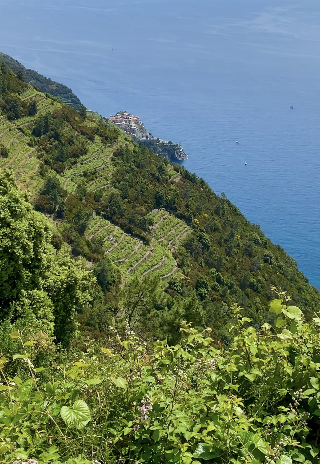
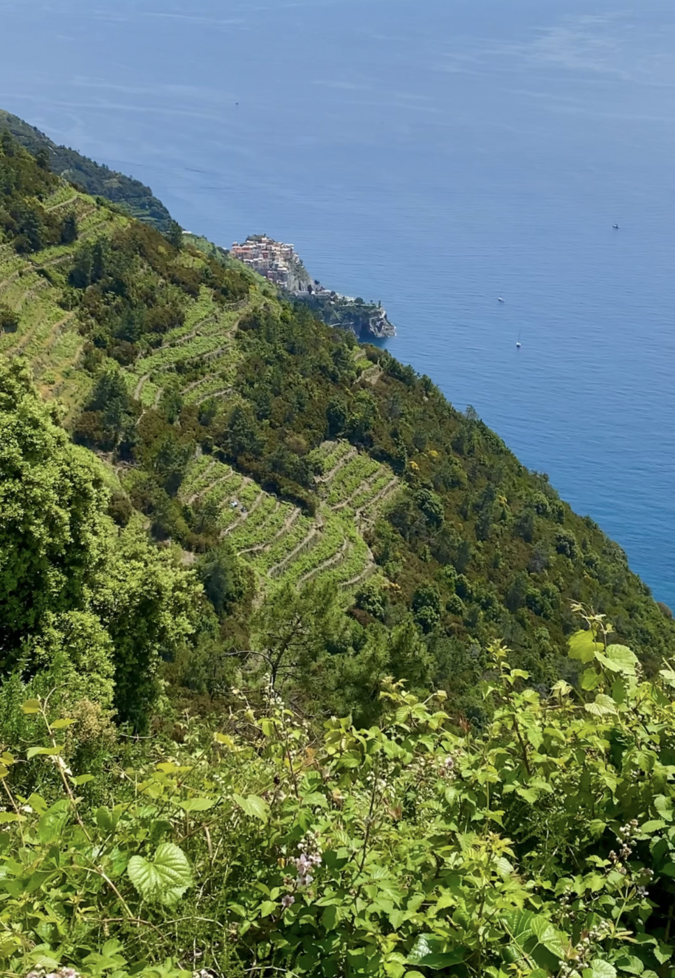
Liguria certainly conjures up images of clear blue sea, but “this is a rural territory first,” Fenwick says. It’s why the region’s UNESCO heritage has more to do with the stone wall terracing—an agricultural system engineered over centuries to drain water and grow grapes on the steep terrain high above the sea and brilliantly engineered Cinque Terre towns.
“It’s not a sexy subject, and nobody seems to care much about dry stone walls, but that really is the thing here,” Fenwick says. “The walls make agricultural land out of a landscape that would have none whatsoever. It’s an agricultural museum, a man-made landscape, but it cohabits with nature in complete symbiosis.”
These dry-stone walls once spanned over 11,000 kilometers—a total length greater than the Great Wall of China. “Stones are heavy, and lifting them in a vertical landscape is heavy, collaborative work,” Fenwick says, explaining that creating the full network required the local community to band together. “There’s no point in me building a dry stone wall on my land if you’re not going to do the same.”
Beyond the walls, what’s special about these mid-mountain trails, says Fenwick, is the Strada dei Santuari, connecting five historic places of worship—Saviore, Montenero, San Bernardino, Volastra, and Reggio. “These are wonderful places in a deeply spiritual way,” Fenwick says. “They’re places locals go, and you feel that significance instantly when you arrive.”
You can make your way to these special sights on just about all of Fenwick’s favorite mid-range hikes. Here, a detailed look at the best ones to take, all starting from Levanto or Chiesanuova. Steady legs are required, because “it’s not about how far you go,” Fenwick says. “It’s all about the up and down.”
Hiking Logistics
Trail Essentials: The trails range from moderate to difficult, and proper hiking shoes are non-negotiable—these are rocky, uneven mule tracks with constant elevation changes. Poles are helpful but not essential. Pack plenty of water and sun protection; once you leave the village limits, there are rarely any water fountains, bathrooms, or shaded facilities until you reach the next settlement. The mid-level trails are well-marked with red and white trail blazes and don’t require the Cinque Terre Trekking Card. Always pack a swimsuit; every trail can eventually bring you to the sea.
Seasonality: Winter is Fenwick’s preferred hiking season: the trails are quiet, devoid of crowds, and the weather is comfortable. Spring starts are best around 10:00 AM when the mountain air warms. Summer hikes require an 8:00 AM departure at the latest; you want to finish by 1:00 PM as the trails aren’t well shaded. Autumn brings golden light across the turning vineyards, with water temperatures still warm enough for swimming.
Return: All hikes can technically be completed out-and-back, though it’s recommended to end your hike in one of the five towns, from which you can either return to your starting point via train or the low-ridge blue hiking path. Hikes can, of course, also be completed in reverse order from how they are listed here.
THE MID-RIDGE TRAILS
VINEYARDS & DRY-STONE WALLS CIRCUIT (STRADA DEI SANTUARI)
A multi-stage route running parallel to the coast at mid-altitude, this network links five historic sanctuaries—Soviore, Reggio, San Bernardino, Volastra, and Montenero—cutting through active terraced vineyards where historic monorails still haul the grape harvest (you can taste these wines at La Sosta).
The expert-level route can be undertaken as a single stage or more. To complete the entire itinerary, bypass the routes into town and hike from sanctuary to sanctuary. Otherwise, after completing a stage, follow signs to the closest town. Following the sanctuary-to-sanctuary route, the entire trail will take a full day (~8 hours) to complete. A recommended shorter itinerary is Stages 1 & 2, broken down below.
Stage 1: Levanto / Chiesanuova – Madonna di Soviore (475m) – Monterosso
Stage 2: Madonna di Soviore – Madonna di Reggio (350m) – Vernazza
Stage 3: Madonna di Reggio – San Bernardino (375m) via Sentiero 581
Stage 4: San Bernardino – Volastra (335m) – Manarola (passing the Fondazione Manarola site, where locals rebuild dry-stone walls)
Stage 5: Volastra – Santuario di Montenero (400m) – Riomaggiore
Chiesanuova – Madonna di Soviore
Stages 1 & 2: Levanto / Chiesanuova to Vernazza, via Soviore & Reggio
A 5-hour trajectory connecting two Marian sanctuaries. From Levanto or Chiesanuova, follow the path toward Colla di Gritta, where you’ll then take the Sentiero 591 to the stunning Sanctuary of Soviore, which has a cafe and bathrooms. Then, take Sentiero 591 to 582, and you’ll end up at the Sanctuary of Madonna di Reggio, Vernazza’s village shrine. From there, follow Sentiero 508 down for about 40 minutes through exposed vineyards into the heart of Vernazza.
LEVANTO TO MONTEROSSO VIA COLLA DI GRITTA & MONTE ROSSINI
A 3-hour trek starting directly from Chiesanuova or from the Eastern side of Levanto (follow signs for Fontona or Colla di Gritta via Sentiero 574 or 512), the path climbs through oak woods to Colla di Gritta (330m) before ascending the steep, dense 460m ridge of Monte Rossini (via Sentiero 591) for sweeping views over the Riviera di Levante. It descends towards Sella dei Bagari, after which you’ll merge with the main coastal path. Take a short detour to see the ruined monastery of Sant’Antonio del Mesco, and then prepare for the mile-long, straight-down stairway descent to the ll Gigante Neptune statue in Monterosso’s western end.
THE LEVANTO VALLEY HILL-VILLAGE LOOP (I SENTIERI DI LEVANTO)
An inland circuit that offers a look at Liguria’s rural hinterland away from any coastal crowds. It connects the valley’s ancient rural agricultural hamlets—Chiesanuova, Legnaro, Gallona, San Bartolomeo, and Pastine—winding through olive groves and terraced hillsides before descending to the Levanto beach. The full round trip spans roughly 6 hours, though nearly every village features a trail branching straight down to the sea if you prefer a shorter day.
- Chiesanuova to Legnaro: 15 minutes
- Legnaro to Gallona: 20 minutes
- Gallona to San Bartolomeo: 10 minutes
- San Bartolomeo to Pastine: 30 minutes
- Pastine to Vignana: 20 minutes
- Vignana to Montale: 40 minutes
- Montale to Dosso: 45 minutes
- Dosso to Groppo: 15 minutes
- Groppo to Lavaggiorosso: 20 minutes
- Lavaggiorosso to Lizza: 15 minutes
- Lizza to Levanto: 40 minutes
- Levanto back up to Chiesanuova: 45 minutes
- Bonus Coastal Alternate: The flat, 2-hour walk from Levanto to Framura along the repurposed 2010 railway tunnels offers shaded sea views and direct rock access for swimming.
For maps, turn-by-turn routes, and more details on these hikes, visit La Sosta di Ottone III on Foot.